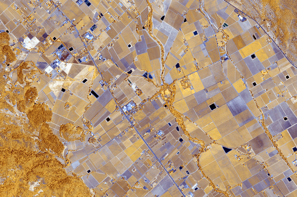
Satellite-Derived Indices
ilika delivers vegetation, drought, and land use indices with global coverage and high temporal frequency—ideal for monitoring change, tracking risk, and building models.

Multi-Index Support
We support a suite of remote sensing indices derived from both optical (Sentinel-2, Landsat) and radar (Sentinel-1) sources. These include:
- NDVI – Vegetation Health
- NDWI – Water Content
- NDYI – Drought Stress
- VH/VV Radar Backscatter – Biomass and Soil Moisture Proxy
Delivery Options
- Time series (weekly/monthly) at pixel or region level
- Change detection alerts
- Cloud-native delivery: GeoTIFF, CSV, or custom
- Custom aggregation or frequency filters
Applications Across Sectors
Agriculture & Insurance
Track drought and vegetation stress in near real-time for yield risk.
Climate Finance
Integrate indices into climate scenario modeling or ESG scorecards.
Environmental Monitoring
Detect land degradation or deforestation early via multi-index trends.
Bring Earth Insights to Your Workflow
Ready to build with remote sensing indices? ilika delivers scalable, high-quality signals tailored to your resolution and refresh needs.
Get in Touch